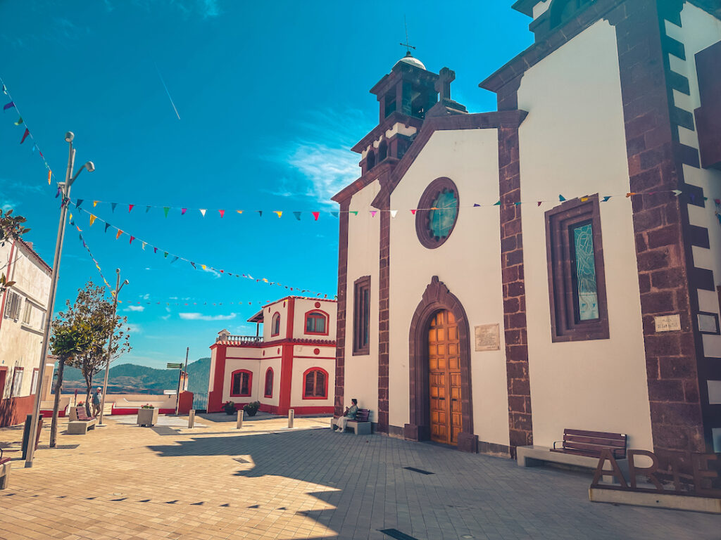
Our destination is the village of Artenara, a place that still preserves the essence of traditional Canarian life. Surrounded by terraced fields, caves, and cliffs, this charming village is a symbol of mountain agricultural architecture—perfect for ending the route with a quiet and authentic moment of reflection.
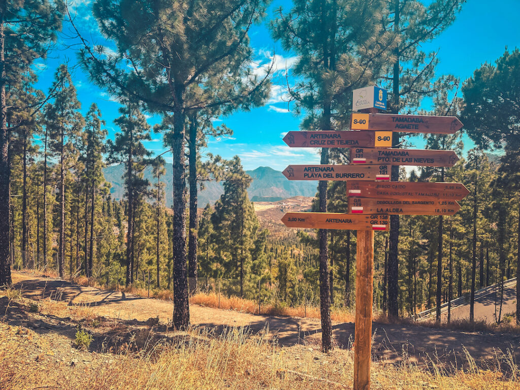
The day begins in the humid pine forest of the Tamadaba Natural Park, at an altitude of 1,300 meters, starting specifically from the Forest House. The trail leads us through the drier part of the Tamadaba pine forest, with its unique ecological features, offering wide panoramic views: on one side, toward Artevirgo and the Risco Caído site; on the other, toward La Mesa de Acusa and the Barranco Grande.
From there, a moderate descent takes us to Degollada de Acusa (1,100 m), the lowest point of the route. Then begins a continuous ascent with a 20% incline up to Morro de García (1,300 m), right at the entrance to the village of Artenara, the final destination of this first day.
The route has a medium difficulty level and is suitable for a broad audience, with no technical sections or exposed areas. As with all hikes, it is mandatory to bring at least 2 liters of water, sun protection, a hat or cap, and waterproof clothing if weather conditions require it. Minors aged 16 and over may participate if accompanied. It is essential to follow the instructions and recommendations of the guide team at all times.
Medium technical difficulty: Sections with volcanic rock, exposed areas, and steep slopes both uphill and downhill. Requires good coordination and appropriate footwear.
Medium-high physical difficulty: Although relatively short (8.9 km), the total elevation gain/loss (+473 / -500 m) and technical ascents and descents require good physical condition.
Tamadaba Natural Park – Pico de la Bandera – Caldera de Tejeda – Risco Caído – Village of Artenara
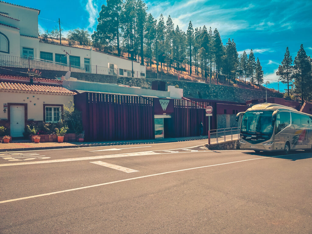
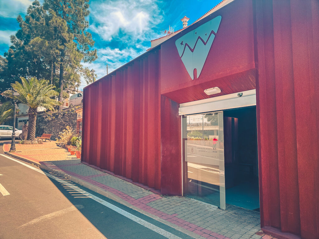
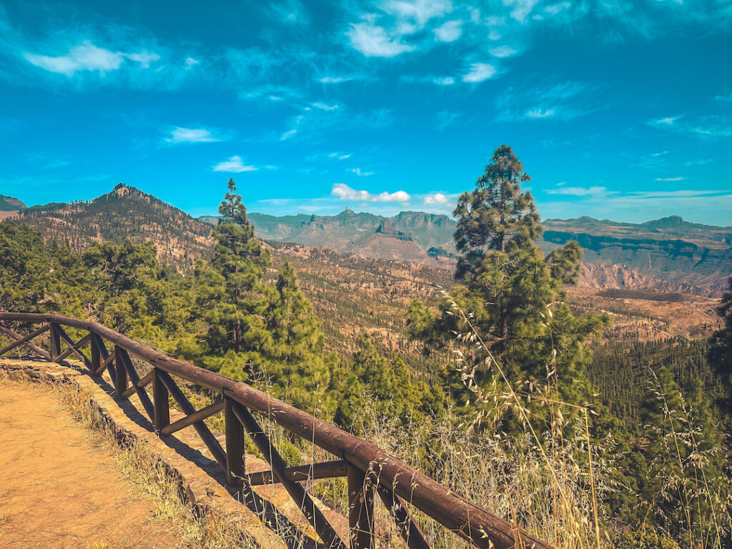
Route Start.
Tamadaba Natural Park is one of the oldest and most biodiverse areas of Gran Canaria. Its vast native Canarian pine forest has remained almost untouched thanks to its geographic isolation. This ecosystem is home to a wide variety of endemic flora and birds of prey such as the Barbary falcon (Falco pelegrinoides) and the common kestrel (Falco tinnunculus). The park also showcases the ancestral interaction between humans and nature: ancient terraced fields, stone paths, and water galleries coexist with lush vegetation. Walking through Tamadaba is an immersion into an atmosphere of calm and purity, where the ocean breeze mixes with the scent of pine resin. It is a key location for understanding the island’s volcanic origin, the evolution of thermophilic forests, and ongoing efforts to preserve the environment.
Near the Route.
This natural viewpoint, located at one of the highest points of the route, offers one of the most stunning views on the island. From here, you can see the northwestern coast, the Tamadaba massif, and on clear days, Mount Teide on Tenerife silhouetted against the sky. Its name comes from oral tradition, which tells that flags or visual signals were once placed here. The area around the viewpoint reveals various types of landforms: volcanic flows, ravines, and eroded cliffs. It is also an excellent spot for observing gliding birds and for an interpretive break focused on orientation and landscape reading. The contrast between the dense pine forest and the wide horizon makes this a must-stop for wonder and photography.
Views from the Mirador del Sargento.
The Caldera de Tejeda is a gigantic geological depression of volcanic origin, shaped by collapses and erosion, and considered one of the most spectacular landforms of Gran Canaria. It is a natural amphitheater surrounded by iconic peaks such as Roque Nublo and Roque Bentayga. From the trail, one can clearly identify volcanic strata, dikes, and the terraced vegetation that has taken root within the caldera. This area has played a key role in the island’s agricultural and cultural history, and is viewed as an emblem of the Gran Canarian landscape. From an interpretive perspective, it helps explain the formation of the Canary Islands, erosion processes, and human adaptation to rugged environments. Its geological, ecological, and symbolic significance is indisputable.
Near the Route.
Risco Caído is one of the most significant archaeological sites in the Canary Islands, declared a UNESCO World Heritage Site in 2019 along with the Sacred Mountains of Gran Canaria. It is a troglodyte complex formed by caves excavated by the ancient Canarians, some used as dwellings and others for ritual purposes. A highlight is the “temple cave,” whose domed ceiling has an opening that lets in sunlight and moonlight, projecting shapes that likely had ceremonial meaning linked to agricultural cycles. Although the site is not directly accessible from the route, its proximity allows for an on-site explanation of the pre-Hispanic spirituality and astronomical knowledge of the ancient islanders. It is an ideal place to explore themes of archaeology, worldview, and cultural continuity.
End of Route.
Artenara, the highest municipality in Gran Canaria, is a village that preserves the essence of rural life in the island’s highlands. Famous for its still-inhabited cave houses and its natural surroundings of cliffs and ravines, the village is a living example of adaptation to the terrain. Its main square, presided over by the Church of San Matías, is the perfect place to explore traditional architecture, local crafts, and mountain customs. Also noteworthy are the Ethnographic Museum and the Chapel of the Virgen de la Cuevita, carved into the rock. Artenara is an excellent end to the hike, where visitors can taste local products, chat with residents, and connect with the living memory of the island. The dramatic and majestic landscape surrounding the village provides an emotional and visual conclusion to an unforgettable day of hiking.


This route begins at the top of the majestic Tamadaba Pine Forest, one of the oldest and best-preserved natural areas of Gran Canaria, located within the Natural Park of the same name.
This route begins in the spiritual heart of Gran Canaria: the Marian village of Teror, a starting point steeped in history, faith, and culture.
Departing from the livestock heartland of northern Gran Canaria, the village of San José de Caideros, this route leads us through ancient rural paths flanked by centuries-old chestnut trees, natural viewpoints, and agricultural terraces that still retain the charm of the past.
This linear route connects the traditional village of Tunte (San Bartolomé de Tirajana) with the bottom of the spectacular Fataga Ravine, ending at the aboriginal settlement of Arteara.

Immerse yourself in relaxation, explore the coastline, discover new routes and get into the most captivating nature.


Subscribe to our newsletter to receive all the latest news about the Gran Canaria Walking Festival.